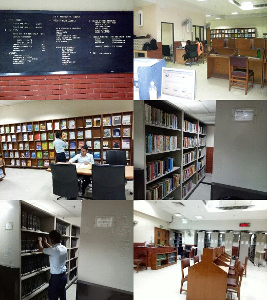

KNOWLEDGE RESOURCE CENTRE NEW DELHI
ज्ञान संसाधन केंद्र नई दिल्ली
Flooded areas and flood plain characteristics of Punpun river basin using satellite data, CS-112
by National Institute of Hydrology.
Type: BookPublisher: Roorkee: National Institute of Hydrology, 1992Description: 49p.
| Item type | Location | Call number | Status | Date due | Barcode |
|---|---|---|---|---|---|
 English Book English Book |
CSIR-HQRS
|
Item withdrawn | 26786 |
Lib/WDR/6/2004-05(wdr no.12098)
Developed Under CSIR-KnowGate Project in Knowledge Resource Center Copyright @2017

There are no comments for this item.